


Survey & Mapping
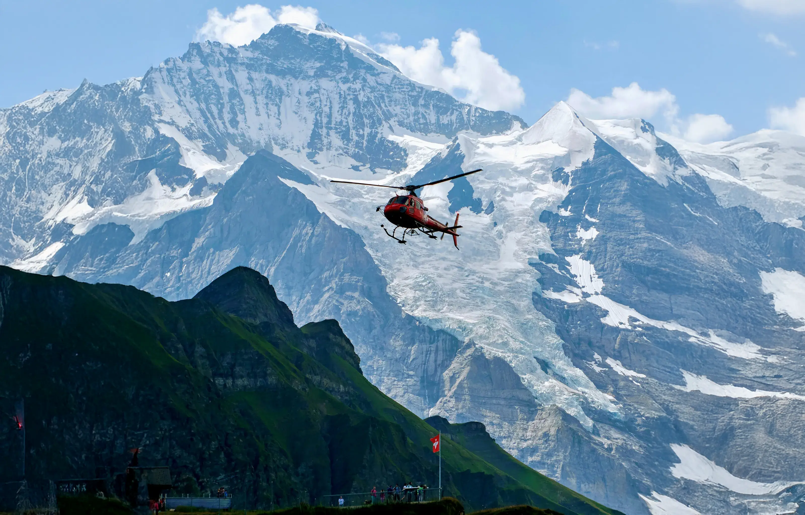
Airborne LiDAR — helicopter & drone
Helicopter for large areas, high altitude and long corridors — RIEGL sensors, integrated and operated by our team on chartered aircraft. Drone where detail matters more than range: sites, structures, vertical capture.
Vehicle-mounted LiDAR
Mobile mapping along road and rail corridors, acquired at traffic speed and georeferenced to survey grade.
Backpack LiDAR
Portable SLAM acquisition for confined, wooded or inaccessible terrain — where nothing else can go.
Applications
Natural hazard and environment, infrastructure and engineering, urban planning, media & VFX
Aerial Inspection
Blade inspection — wind
Fully autonomous visual capture of rotor blades, up to 10 turbines a day, with every finding georeferenced to the blade.
Thermal inspection — renewables
Radiometric thermal surveys of PV plants and electrical equipment: hotspots, faulty strings and connection anomalies, mapped and quantified.
Visual inspection — industrial sites
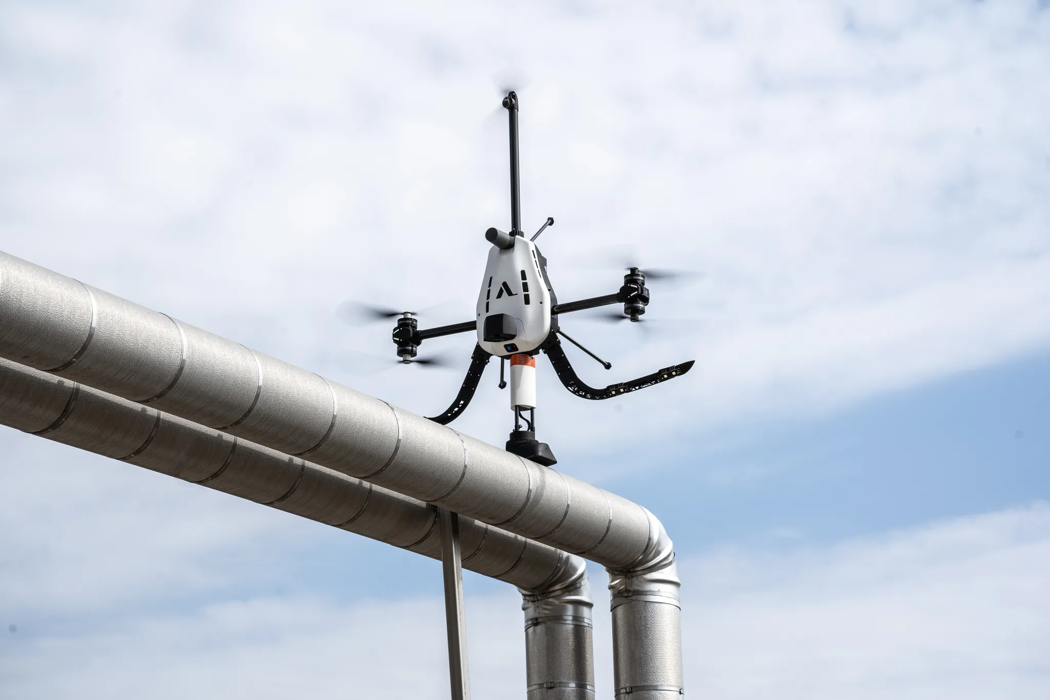
High-resolution condition assessment of stacks, tanks, flares and structures — including remote and hard-to-access areas, with the asset in service.
Confined space inspection
SLAM-guided drones for GPS-denied environments: storage tanks, tunnels, enclosed facilities. Nobody enters the space.
Automated powerline inspection
Missions generated from the real corridor geometry and flown autonomously along the line: every component captured systematically, campaign after campaign.

Contact-based NDT Applications
Wall Thickness Measurements
Ultrasonic (UT) testing with gel-coupled sensors for accurate wall thickness readings on complex structures—without scaffolding or shutdown.
EMAT Inspection
Electromagnetic Acoustic Transducer sensors for inspections without surface preparation. Ideal for coated surfaces and rapid deployment.
Coating Thickness (DFT)
Dry Film Thickness measurements for paint and zinc coatings on towers, tanks, and infrastructure. Non-contact verification of protective layers.
Lightning Protection Testing
LPS sensor testing for wind turbine lightning protection systems—both onshore and offshore installations. Critical safety verification.
Pulsed Eddy Current (PEC)
Corrosion detection through insulation and protective coatings. Identifies wall loss without surface access or insulation removal.
Data Management & Analysis
Advanced Data Processing
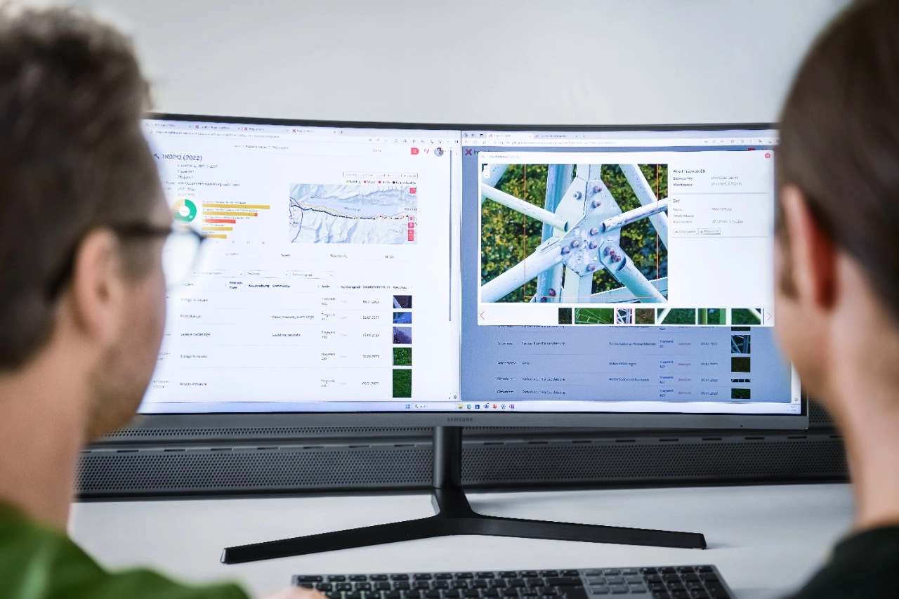
Transformation of raw inspection data into operational insights. Photogrammetry, point cloud processing, and DTM/DSM generation.
Digital Twin & 3D Models
High-fidelity 3D Reality Models (3DRM) for facility management and operational planning. Integration with existing asset management systems.
SMART P&IDs
AI-enabled Piping and Instrumentation Diagrams for equipment localization and intelligent process mapping.
Augmented Reality Operations
Machine-vision applications for maintenance and operations. Real-time overlay of asset data during field work.
Ready to Transform Your Inspection Operations?
Connect with our technical team to discuss your asset inspection challenges and discover how Tidalis can optimize your operations.