

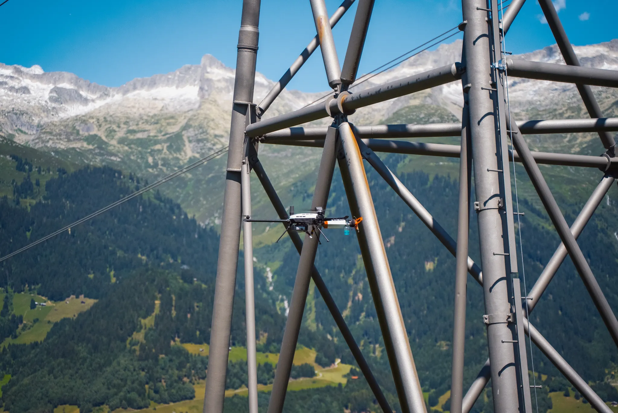











We acquire reality and measure it — from kilometre-wide corridors to millimetre-thin walls. Tidalis surveys sites and corridors with airborne LiDAR, flies autonomous inspections, and takes contact NDT measurements on live assets — the first operator in Europe to do so. Every point and every reading shares the same coordinate system, and reaches your engineers as data they can act on: no shutdown, no scaffolding, nobody at height.
2000+
10+
6
18
Survey. Inspect. Measure. Decide
Survey & Mapping
Helicopter, drone, vehicle and backpack LiDAR. Classified point clouds, terrain models and GIS layers — here, the data is the product.
Aerial Inspection
Autonomous visual and thermal inspection of energy and industrial assets, including confined and GPS-denied spaces. Systematic, repeatable, georeferenced.
Contact-based NDT
Direct measurements on live assets: wall thickness, coating, corrosion, lightning protection. First in Europe to operate aerial NDT at contact.
Data Management
Every acquisition ends here: reports with findings in plain language, 3D reality models, SMART P&IDs and platform delivery — one coordinate system, from the corridor to the coating. Your data stays yours, in open formats.
Operating across critical industrial sectors
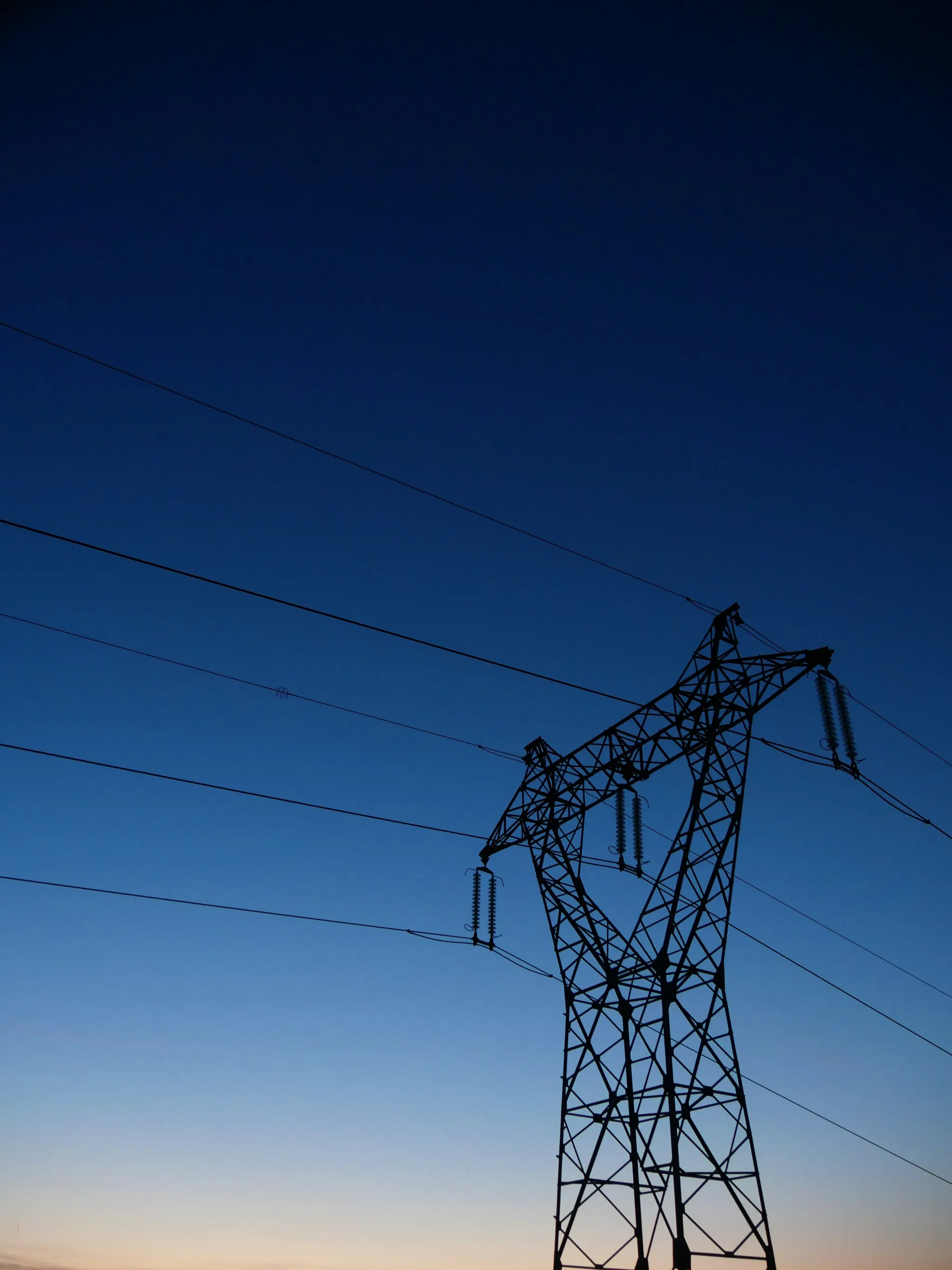
Power Grid & Utilities
Corridor surveys, inspections, and contact NDT on energised transmission lines, substations, and grid infrastructure.
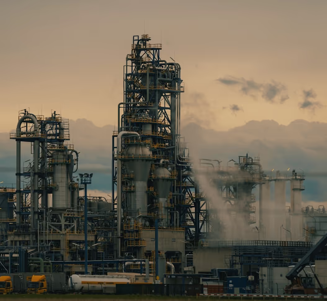
Oil & Gas
Upstream, midstream, and downstream asset inspection and NDT — with the asset in service.
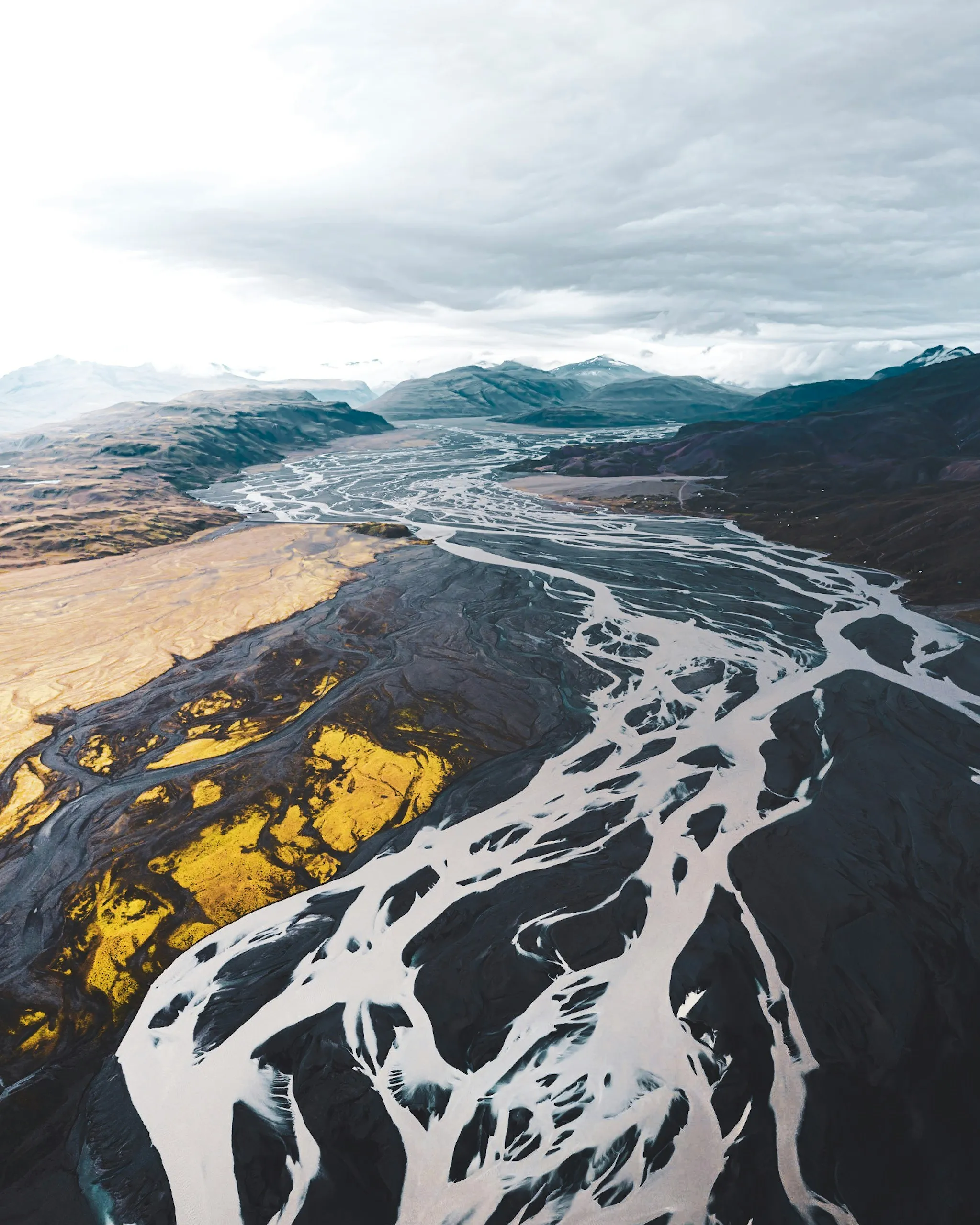
Survey & Geospatial
Terrain, corridor, and city-scale mapping for engineering, planning, and visual production.
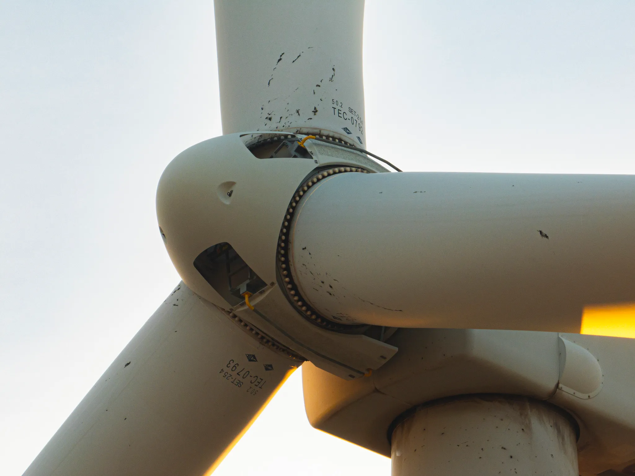
Renewables
Wind turbine, solar, and hydroelectric asset inspections, onshore and offshore.
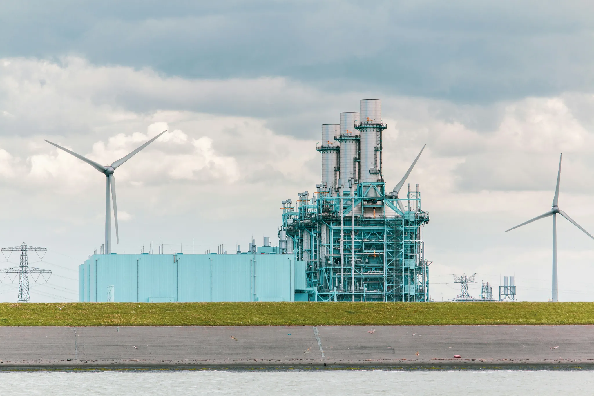
Power Generation
Stack, boiler, and cooling tower inspections across thermal and waste-to-energy plants — in service.
Why Tidalis
We measure, we don't just observe
Among the first in Europe to fly contact-based NDT: up to 30 N of stable force, 360° mobility, five qualified payload families.
A production rate you can plan against
100–120 readings an hour. 5–10 turbines a day. 10+ energised supports a day. Over 2,000 assets behind us.
Qualified people, documented procedures
NDT personnel at Level I and II with Level III oversight. EASA Specific category operations. Every reading traceable to a calibration record.
Data that leaves as a decision
Every reading carries its coordinates. Every campaign is comparable to the last. Reports and 3D models replace the folder of photographs.
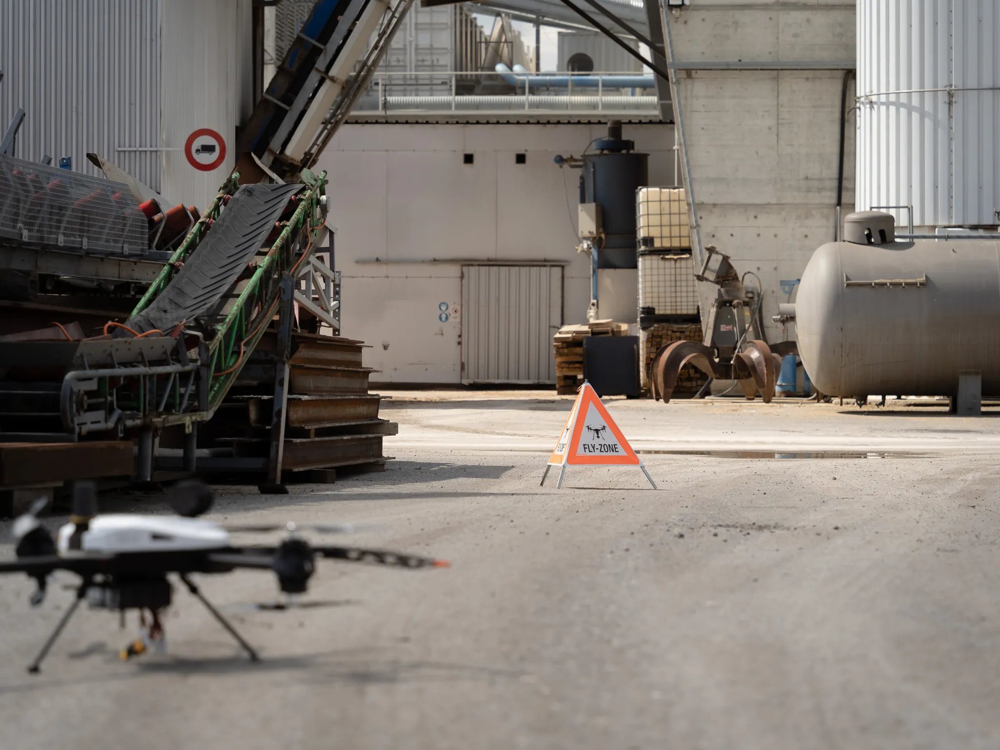
Ready to Transform Your Inspection and Survey Operations?
Connect with our technical team to discuss your asset challenges — from corridor surveys to contact measurements — and discover how Tidalis can support your operations.